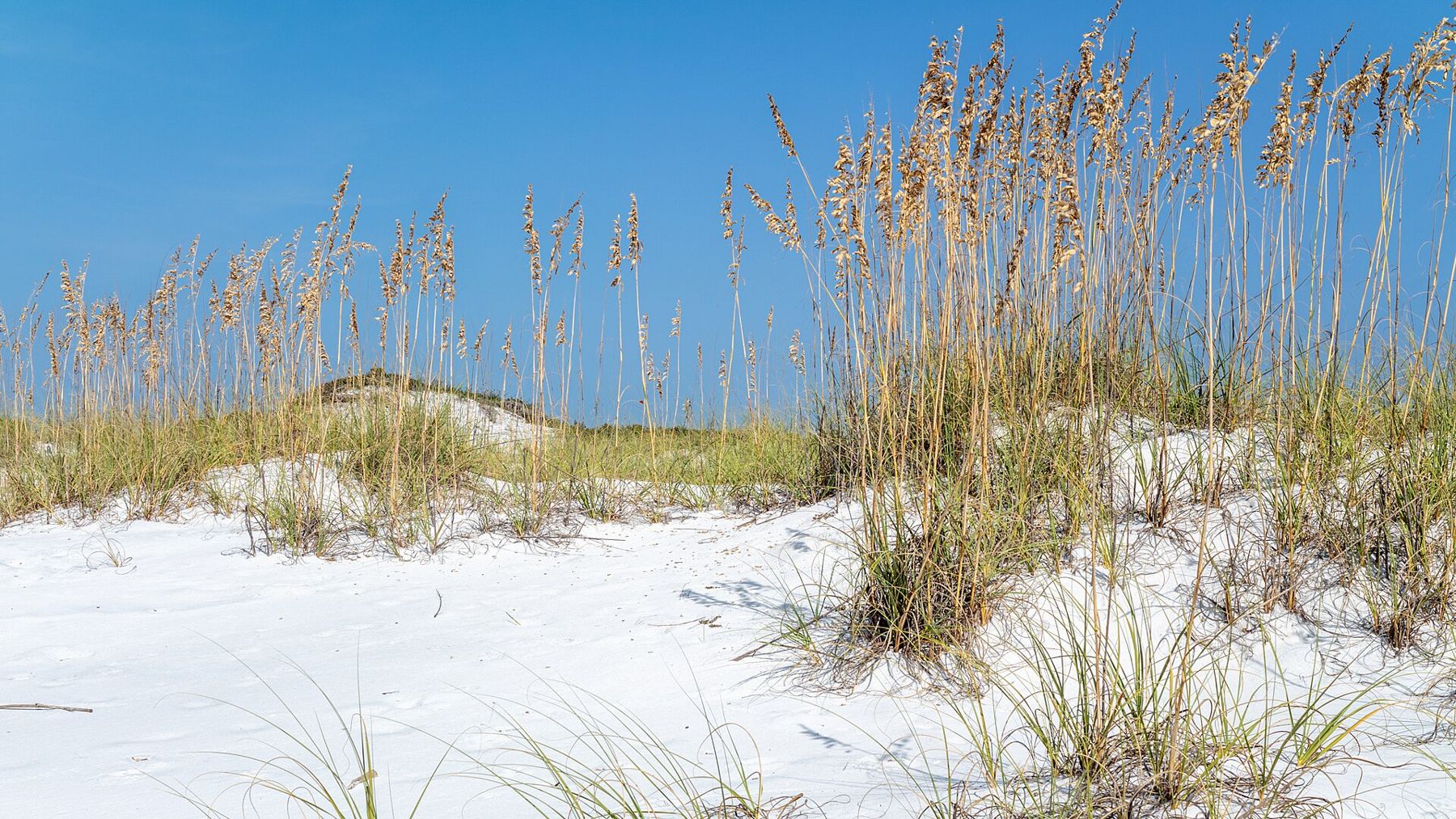
Santa Rosa Beach is less a town than a stretch of coast: an unincorporated area of Walton County on Florida's Panhandle, threaded by a two-lane road called Scenic Highway 30A. Along it lie a dozen or so small beach communities, two fine state parks and something you will not find in many places on Earth: lakes that sit right behind the dunes and, now and then, break through to the Gulf.
The sand
The first thing everyone notices is the colour. The sand here is almost pure quartz, ground down from the Appalachian Mountains over a very long time and carried south by rivers to the coast. It is white, fine and cool underfoot even in summer, and it squeaks when you walk on it dry. Against it, the Gulf shows greens and blues that look painted in photographs.

The water is usually clear and calm in late spring and early autumn. Winter is cooler than many visitors expect, with water too cold for most swimmers and occasional grey days, but the beaches are empty and the light is good.
The coastal dune lakes
Coastal dune lakes are rare. They form behind the dunes in only a few places in the world, and Walton County has around fifteen named ones along its shore. Fed by rain, groundwater and streams, they are mostly fresh or brackish, often tinted the colour of tea by tannins from the surrounding pinewoods. Every so often, after heavy rain or a storm, a lake breaks through the dunes to the Gulf at a channel called an outfall, and salt water and fresh mix until the sand closes the gap again.
The result is an unusual mix of plants and animals, and a landscape that changes from one season to the next. You can see several of the lakes from 30A, but the best way to understand them is on foot or by kayak inside the state parks, where the shorelines are protected.
The lakes are easily harmed. Runoff from roads and lawns, building close to the shore and people walking over the dunes to reach the water all take a toll, and the county and state work to protect them. Use the marked crossings, keep off the dune vegetation, and do not dig channels to open an outfall yourself, however tempting it looks on a hot afternoon; the lakes open and close on their own schedule, and interfering is against local rules.
Grayton Beach State Park
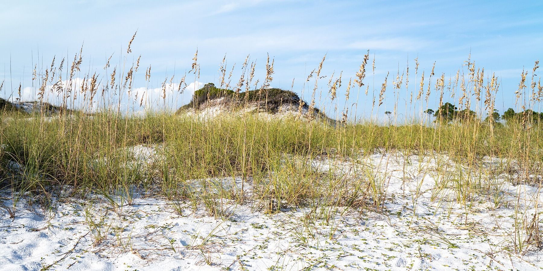
Grayton Beach State Park takes in a long run of beach, high dunes, scrub and pine flatwoods around Western Lake, one of the larger dune lakes. The beach regularly appears on lists of the country's best, and with good reason: it is wide, clean and backed by dunes rather than buildings.
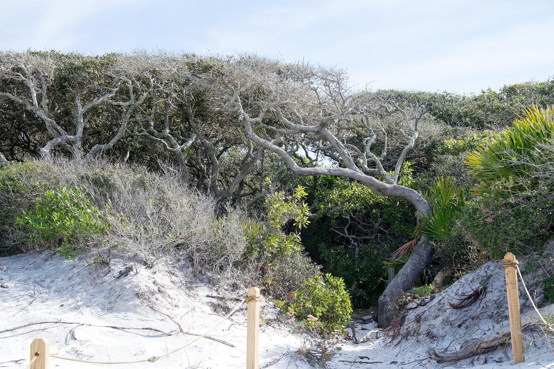
The best way to see the park is on the trail that loops from the beach through the dunes and into the scrub, where the oaks grow sideways, pressed flat by the wind. Paddling on Western Lake is calm and easy, and the outfall to the Gulf is worth a look when it is open. The park has a campground and cabins; demand is high, so book well ahead and check fees and rules before you go.
The best way to see the park is on the trail that loops from the beach through the dunes and into the scrub, where the oaks grow sideways, pressed flat by the wind.
The small community of Grayton Beach next door is one of the oldest on this coast, with sandy lanes and older cottages that show what the shore looked like before the planned towns arrived.
Those planned towns are a story in themselves. Seaside, begun in the early 1980s, set out to build a walkable beach town of porches, picket fences and narrow streets, and its look was copied up and down the coast; it was also used as a film set for The Truman Show. Further east, Rosemary Beach and Alys Beach followed with their own strict building codes, one in dark timber, the other in whitewashed walls. Whether you find them handsome or a little too tidy, they are worth a slow cycle through, and they make a striking contrast with the wild stretches inside the parks.
Topsail Hill Preserve
At the western end of 30A, Topsail Hill Preserve State Park protects more than three miles of beach and some of the tallest dunes on the Gulf coast. Three coastal dune lakes lie within the park, and trails run through longleaf pine and scrub to reach them. It feels wilder than Grayton, with fewer people and less noise, and the walk to the water is part of the point.
Other parks along the coast are worth an hour each. Deer Lake State Park has a boardwalk over the dunes to a quiet beach. Point Washington State Forest, on the inland side of 30A, has long trails through pine flatwoods. Eden Gardens State Park, on Choctawhatchee Bay, keeps an old house and gardens of camellias and azaleas under live oaks.
Rip currents and flags
The Panhandle's beaches are beautiful and dangerous. Rip currents, narrow channels of water pulling away from the shore, form here often, even on days that look calm, and they cause drownings every year. If you are caught in one, do not swim against it: swim parallel to the shore until you are out of the pull, then head in. If you cannot, float and signal for help.
Flags posted along the beach give the day's conditions:
- Green: low hazard, calm conditions, but still take care.
- Yellow: medium hazard, moderate surf and currents.
- Red: high hazard, strong surf and currents.
- Double red: water closed to the public. Local rules can include fines for going in.
- Purple: dangerous marine life, such as jellyfish.
Check the flags every time you arrive, and check again later; conditions change during the day. Swim near lifeguards where they are posted.
Getting around 30A
Scenic 30A is narrow and slow, and in summer and spring break it clogs with traffic. A paved path, the Timpoochee Trail, runs alongside much of it, and a bicycle is the easiest way to move between the towns, beaches and parks. Public beach access points are marked along the road; many have small car parks that fill early.
The calmest months are April and May, then September and October, when the water is warm, the crowds thin and the heat eases. June to November is hurricane season. If you want a different stretch of Gulf coast, Fort Myers and Bonita Springs offer the warmer, shell-strewn southwest.