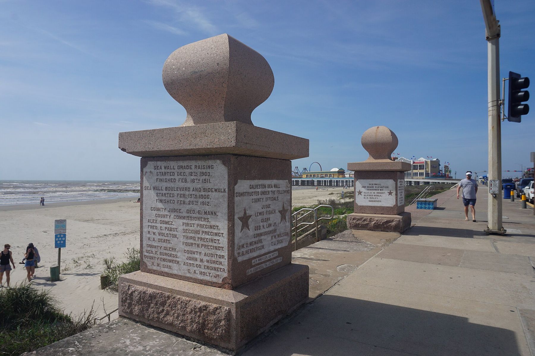
Galveston is a barrier island off the upper Texas coast, a little under thirty miles long and only a few miles across at its widest, joined to the mainland by a causeway at the end of Interstate 45. Houston is about an hour's drive away. In the late nineteenth century the order was reversed: Galveston was the busy, wealthy port and Houston the inland town. What changed that, more than anything, was a single night in September 1900.
The island today is part beach resort, part cruise port and part museum of Victorian building. It rewards a weekend, and it rewards knowing its history before you arrive, because almost everything you see was shaped by the storm and by what the city did afterwards.
The storm of 1900
On 8 September 1900 a hurricane came ashore at Galveston with no meaningful warning. At the time the highest point on the island stood less than nine feet above sea level, and there was no seawall. The storm surge rose over the whole city in a matter of hours. Wind and water pulled houses off their foundations, and the wreckage of one block was driven into the next like a battering ram.
The number of dead has never been fixed with certainty. The usual estimate is at least six thousand people on the island, and some counts run higher still; many more died on the nearby mainland. It remains the deadliest natural disaster in the history of the United States. In the days that followed, the scale of the loss overwhelmed every ordinary means of burial, and the work of recovery fell on survivors who had lost homes and families themselves.
There are memorials along the beachfront and plaques across the old city that mark where buildings stood or survived. They are worth stopping for. The account the island gives of itself is unsentimental: it lost a great deal, and it decided to stay.
The Seawall and the raised city
The response was an engineering project on a scale few American cities had tried. A concrete seawall, curved to throw waves back, was built along the Gulf side, with the first section finished in 1904 and later extensions carrying it to about ten miles. Behind it, the city did something stranger: it raised itself. Sand pumped from the channel was spread beneath the streets, and buildings were jacked up, sometimes by several feet, so that the ground sloped gently down from the wall towards the bay. Houses were raised on jackscrews and new foundations built underneath, and even a large brick church was lifted.
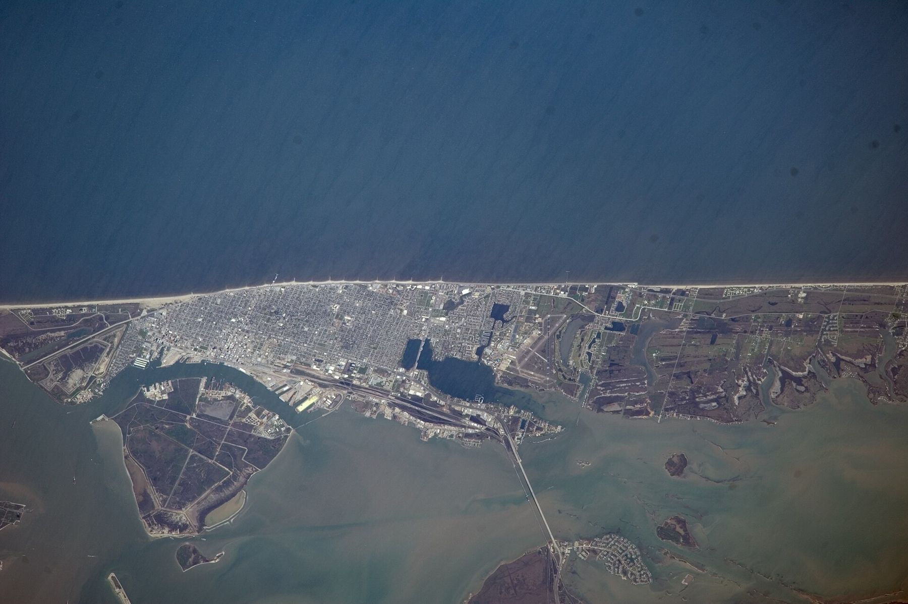
The Seawall is the island's front porch, and most of Galveston's visitors never leave it. Seawall Boulevard runs along its top with a wide walkway for cycling, running and watching shrimp boats and tankers on the horizon. The wall did its job in later storms, though not without cost: Hurricane Ike in 2008 flooded much of the city from the bay side, which the wall does not protect. Conditions change after any storm season, so check before you go for beach access, closures and repairs.
The Seawall is the island's front porch, and most of Galveston's visitors never leave it.
The Strand and the old port
Back from the beach, on the bay side, the Strand historic district was once the commercial heart of the Texas coast, with banks, cotton factors and wholesale houses close to the wharves. Many of its iron-fronted and brick buildings from the 1870s to the 1890s survived the storm, and the district has been restored over the past half century. Today the ground floors hold shops and galleries and the upper storeys show their cast iron and arched windows to anyone who looks up.
A few blocks away, at the harbour, a restored iron-hulled sailing ship from 1877 is moored as part of a maritime museum, one of the oldest ships of its kind still afloat. It makes a good counterweight to the beachfront: this was a working port long before it was a resort, and it still is one, with cargo ships and cruise liners passing along the channel.
Galveston also has a place in national history beyond the storm. On 19 June 1865, Union troops arrived and an order was read in the city announcing that enslaved people in Texas were free. The date became Juneteenth, now a federal holiday, and the city marks it with events and markers each year.
Bishop's Palace and the East End
Broadway, the avenue that brings you onto the island from the causeway, is lined with the large houses of the city's richest years. The best known is Bishop's Palace, a stone mansion built in the 1880s and 1890s for the Gresham family and later owned by the Catholic diocese, which is where its name comes from. It is open for tours, and its stonework, carved wood and fireplaces repay an hour. Being well built, it came through the 1900 storm.
North of Broadway, the East End Historic District is a grid of Victorian houses on raised foundations, many with deep porches and gingerbread trim, mostly still private homes. It is best on foot or by bicycle. Walk it in the morning before the heat builds, look at the varied heights of the front steps, which tell you something about the grade raising, and keep to the pavement: these are people's houses, not exhibits.
Beaches, the state park and the Bolivar ferry
The beaches run nearly the full length of the Gulf side. In front of the Seawall they are narrow and busy; towards the west end they widen and quieten. The water here is often more brown-green than blue, because rivers carry silt into this stretch of the Gulf. That is not the same as dirty, but it is worth knowing if you are expecting the colours of the Florida Gulf, and the white sand of Santa Rosa Beach is a different coast altogether. Rip currents are a real risk on Texas beaches; read the warning flags where they are posted, swim near a lifeguard when you can, and if a current pulls you out, swim parallel to the shore before heading in.
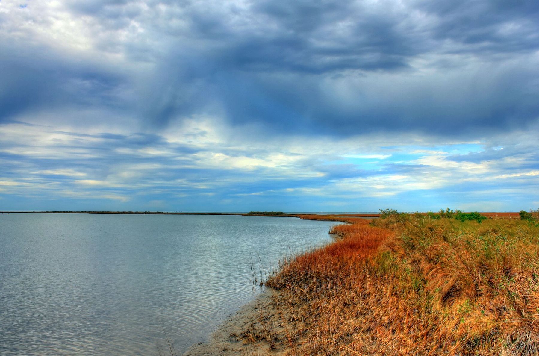
Galveston Island State Park, towards the west end, covers both a beach side and a bay side of marsh, tidal flats and inlets, with birding, paddling and camping. Park fees and reservation rules change, so check before you go.
At the east end, a state-run ferry, free for many years (check before you go), crosses Bolivar Roads to the Bolivar Peninsula. The crossing is short and often comes with dolphins, pelicans and a close look at ships coming in from the Gulf. In summer and on holiday weekends the wait to board can stretch well past an hour, so go early or go midweek.

Planning the trip
Spring and autumn are the easy seasons. Summer is hot and humid, with crowded beaches, and hurricane season runs from June to November, with the greatest risk usually from August into October. Winter is mild and quiet, with grey days and few crowds, and suits the historic districts better than the beach.
- Two days covers the Seawall, the Strand, Bishop's Palace, the East End and an evening on the ferry.
- A third day adds the state park, birding on the west end or a drive along the Bolivar Peninsula.
- From Houston it makes a long day trip; from Dallas it is a drive of four to five hours, so treat it as a trip of its own.
If you are building a longer coastal journey, the Gulf continues east into Louisiana and Florida; our guide to choosing a Florida coast picks up the comparison from there.